|
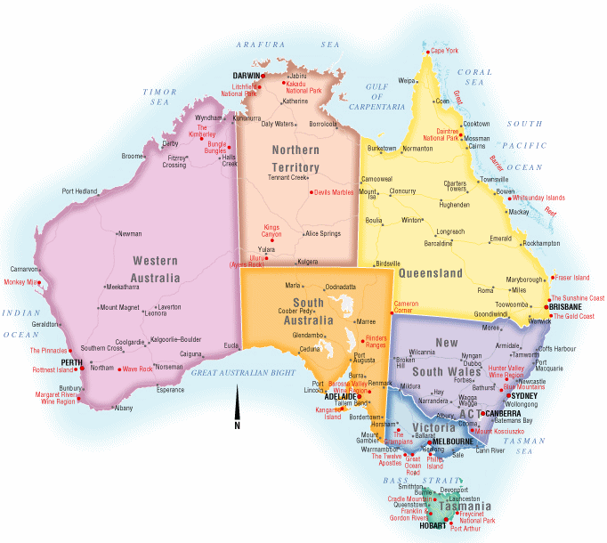
Size and borders
|
- Water Borders include the Indian Ocean, Timor Sea, Arafura Sea, Gulf of Carpentaria, and the Coral Sea,.
- Land Boundaries of 0 km, Australia is an island country.
- Distance of Coastline is about 25,720 km or about 16,000 miles.
|
|
Points of elevation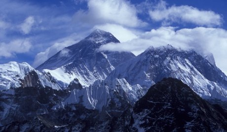
|
Lowest point of elevation is in Lake Eyre which measures 15 m below sea level.
Highest point of elevation is Mount Kosciuszko which measures 2,229 m above sea level. |
physical geography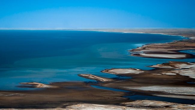
|
Climate: Generally arid to semiarid (desert like); moderate in south and east; tropical in north
Terrain: Mostly low plateau with deserts; fertile plain in southeast |
